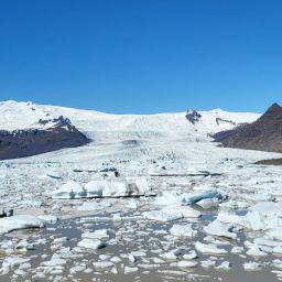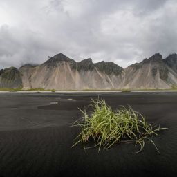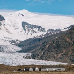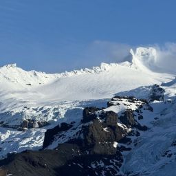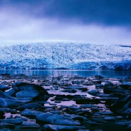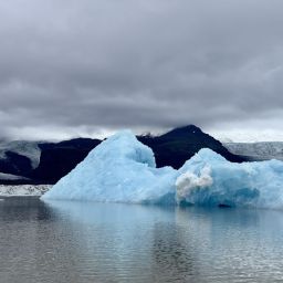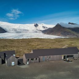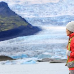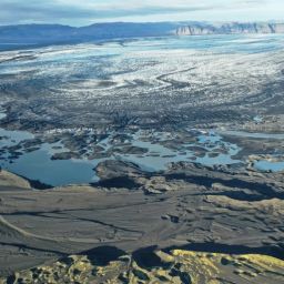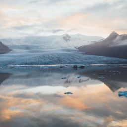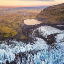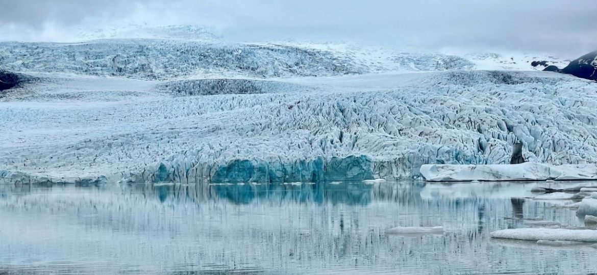
Öræfajökull (Oraefajokull glacier) volcano above Fjallsárlón glacier lagoon is by far the biggest volcano in Iceland by volume around 300km3. Located in Vatnajokull National Park in the Southeast of Iceland you will find impressive sights surrounding the volcano giant. At the top of the mountain the crater is around 14km2 filled with ice. Crawling down from the brim there are eight glacier tongues that extend from the glacier, one of them being our Fjallsjökull Glacier.
When I was growing up in Öræfi my parents and teacher would tell me stories and facts about the volcano Öræfajökull that we had looming above us. Öræfajökull volcano has only erupted two times since Iceland was settled in 1362 and 1727. People often spoke about Öræfajökull volcano as it had cooled out in activity but then others would disagree and say it was still active. Thinking about this Öræfajökull erupting was a very distant thought. Not in my lifetime will it erupt; everyone thinks, maybe it will never erupt again but who knows. The local people in the area knew very well from history how powerful and devastating an eruption in this volcano would be for the area. Pushing the thought of that possibility away was probably a natural response. During a local meeting with the authorities on general matters one local once asked if maybe there should be an evacuation plan for the local people in case Öræfajökull erupts, the whole room cried out in laughter at the thought.
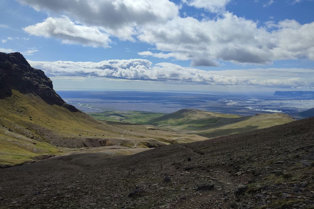
Skaftafell National Park – Öræfi
Öræfi is the area from Skaftafell National Park to Fjallsárlón Glacier Lagoon. Basically, the name Öræfi means wasteland and it actually got its name after the eruption in 1362. This same area was known as Little-Hérað or Little Shire before. It used to have grass fields making it sought after as a habitable area. As mentioned before in 1362 Öræfajökull erupted with an enormous bang and completely destroyed the area. It is estimated that 400 people lost their lives in that eruption.
In 1727 another eruption occurred in Öræfajökull, it was far smaller than the one in 1362 but still a huge flood from the glacier swept over the land, taking everything with it that was in its way. Even if it was a small eruption in comparison to the one in 1362 written documents state that people did not see the difference between day and night for 3 days. This shows the extreme power of this volcano.
In 2017 big earthquakes were detected in Öræfajökull, the locals were shocked. The area is far from where the tectonic plates meet – the North American tectonic plate and the Eurasian plate. On top of Öræfajökull the glacier had started to sink, or the ice in the crater dropped. Kvíá River, typically low in volume during winter, suddenly experienced a surge in water flow. Earthquake detectors read frequent earthquakes, and few big ones were felt by the people living in the area. Öræfajökull was getting ready…
Authorities were now all over this matter, evacuations plans were formed and Öræfajökull was in the spotlight in the news for months and of course in the thoughts of locals. GPS points showed that the area around the volcano was expanding. This could only mean one thing, that lava was building up deep in the ground. This went on from 2017 until 2019 Öræfajökull volcano showed clear signs of getting ready for an eruption. Fortunately, in the end activity faded out again and for now the volcano has taken a nap again.
Recent eruptions close to Vatnajokull National Park
Vatnajokull National Park is a UNESCO Heritage site who has rangers scouting the area daily. We also have highly qualified scientists researching and keeping track of all volcano activity in the area and South of Iceland. Further in South of Iceland you will find more frequent volcano activity. The most famous ones are Eyjafjallajökull glacier, the eruption that took place in 2010 and stopped air traffic in many counties, mainly in Europe. Hekla Volcano is also one of the most active volcano in South Iceland and has been due to erupt for a few years now. Sometimes small eruptions happen under glaciers, which can cause flooding, destroying bridges and roads. When that happens the main ring road no 1 is affected and traffic is cut off between the south and the east of Iceland normally for a short period of time. Icelanders are quite used to handling these situations and after floods reduce it takes around 12-24 hours to prepare the roads based on the damage done in a way so that guests and travelers can continue their journey.
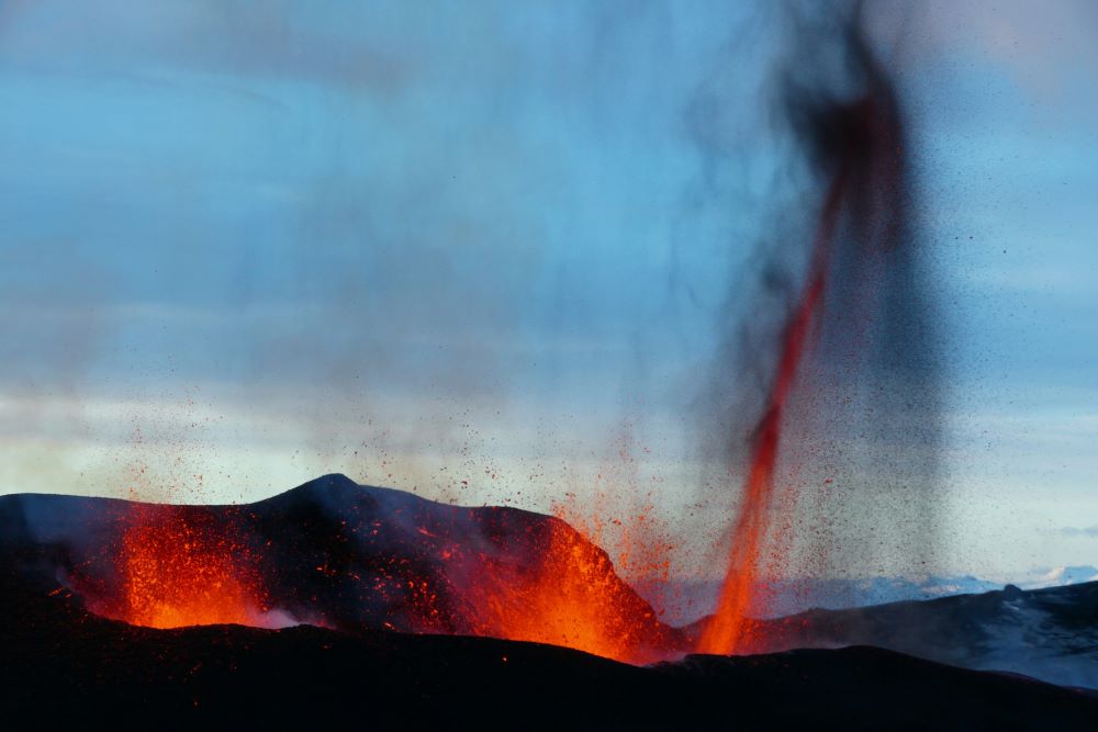
Iceland is formed by volcanic activity and has had its share of eruptions, the most resent ones on Reykjanes Peninsula. We have had six eruptions so far since December 2023. The area is very much alive and for now there is no way of knowing how many more eruptions we will have or for how long they will last. Some say years, others say decades.
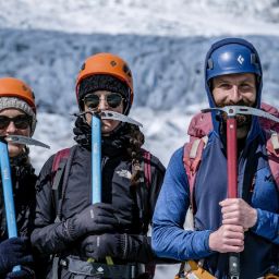
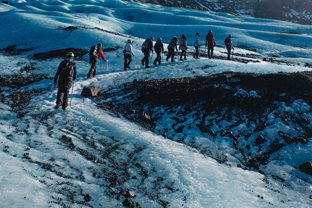
At Fjallsarlon Glacier Lagoon we offer the Arctic Glacier Hike on Fjallsjokull Glacier, one of the Glacier outlet from Öræfajökull and also we offer boat tours on the lagoon below the volcano the Classic Boat Tour. Why don´t you join one of the tours or both and learn first-hand about the glacier and Vatnajokull National park?
Parking is free at Fjallsarlon Glacier Lagoon!


