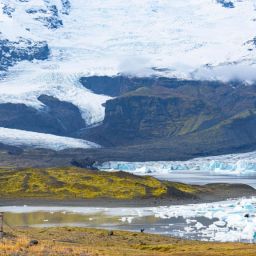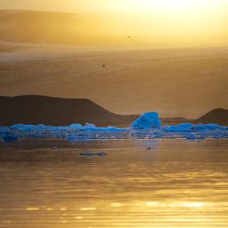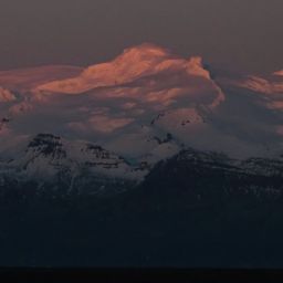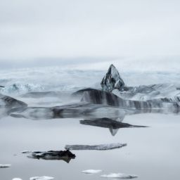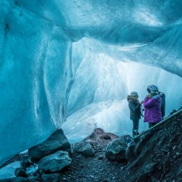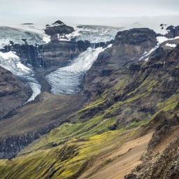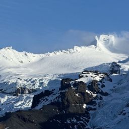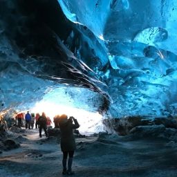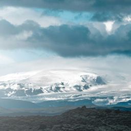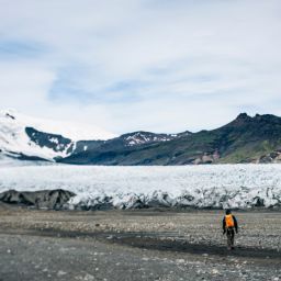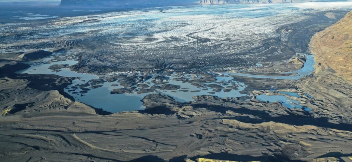
Glaciers in Iceland have been retreating in Iceland for the last decades. This is a result of global warming which has had a huge effect on the glacier rivers that flow from the glaciers. As the glaciers are getting smaller there is less ice to melt causing glacier rivers to decrease in volume as time goes by.
Another factor affecting the rivers is that, as glaciers retreat and cover less flat terrain, rivers have started to merge higher up in the landscape. As a result, two, three, or even more rivers have disappeared, now flowing to the sea as one river.
Skeiðarársandur, the black sand plains south of Skaftafell National Park, there was once a vast area between Lómagnúpur and Skaftafell home to five rivers, Núpsvötn lagoons, Súla, Gígjukvísl, Sæluhúsavatn, and Skeiðará rivers.
Skeiðará river was somewhat legendary as on regular basis it would flood when geothermal areas were active and volcanic activities occurred in Grímsvötn, located in Vatnajökull glacier. When Skeiðará river flooded, huge volume of water would cover the whole of the black sand plains east of Skaftafell National Park and reach as far as Hof farm, in Öræfi. When you drive from Skaftafell to Fjallsárlón glacier lagoon you may wonder why all houses and farmhouses have been built uphill close to the mountains. The reason is that people were more afraid of the floods from Skeiðará than avalanches or big rocks rolling down the mountains.
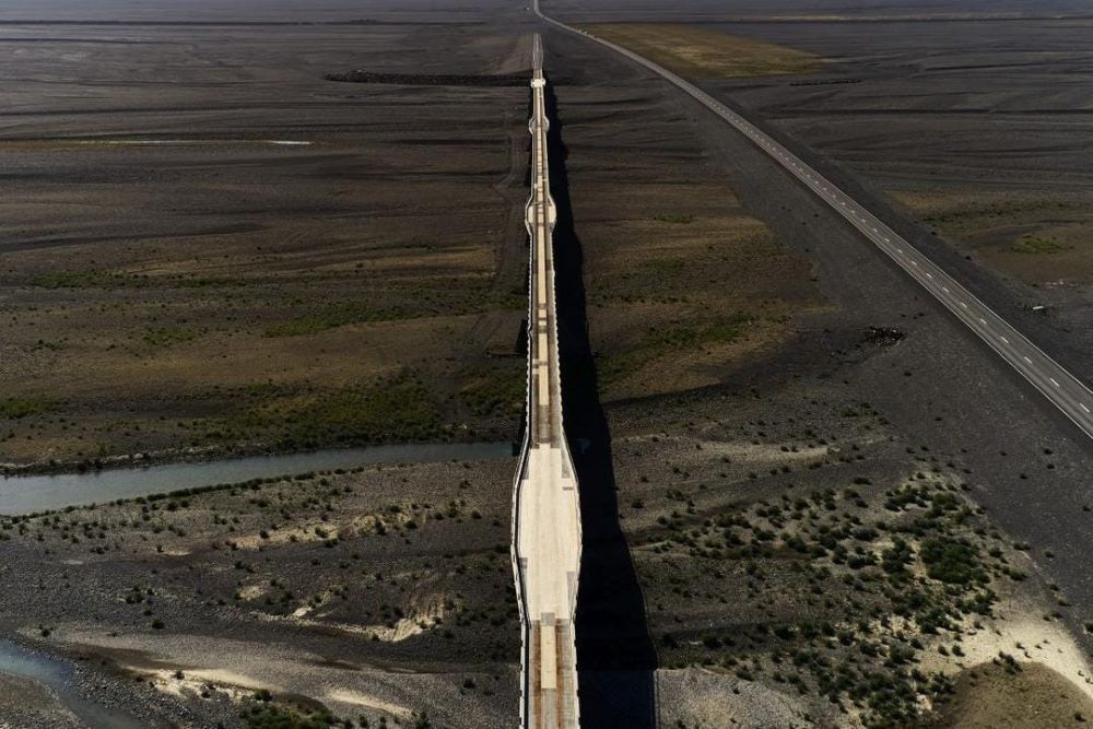
Skeiðarár Bridge – The longest bridge in Iceland
Skeiðará river once had an immense flow at certain times, but during other times of the year, it could decrease significantly in volume. The bridge over Skeiðará was built in 1974 and was considered a great achievement back in the days as it was the longest bridge in Iceland spanning 880 meters. Today the bridge is not in use but is a great reminder of the everchanging scenery in Iceland.
Skeiðará Bridge Monument
This monument serves as a reminder of the massive floods caused by the 1996 eruption. Although the sturdy bridge was designed to withstand substantial floodwaters, the house-sized icebergs carried by the floods destroyed part of it and by that created a gap in Iceland’s main ring road.
No glacier is retreating faster than the Skeiðarárjökull glacier. Eventually, Skeiðará river abruptly changed its course, merging beneath the glacier with Gígjukvísl river, and then Sæluhúsavatn followed suit. The long mighty Skeiðará bridge lost its purpose… You can still see the bridge as testament of the natural forces that used to rule these lands when you drive the ring road, close to Skaftafell. Today you drive across a smaller bridge that was built next to the old one to cross the Morsá river.
Breiðamerkursandur sand plains
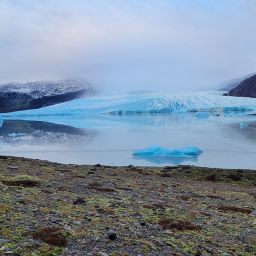
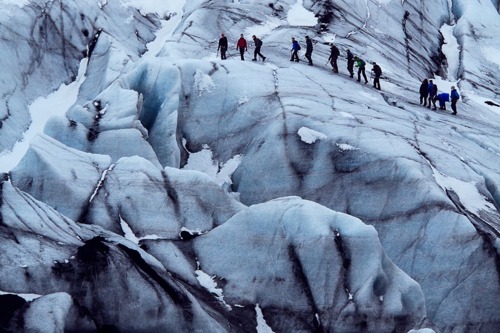
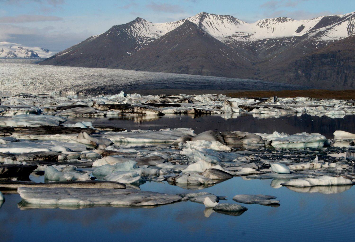
Breiðamerkur sandur sand plains once were covered by Breiðamerkurjökull glacier before the glacier started to retreat and then the famous Jökulsárlón Glacier Lagoon started to form. Fjallsjökull glacier covered Fjallsárlón glacier lagoon and in fact Breiðamerkurjökull, Fjallsjökull and Hrútárjökull glaciers were all connected as one. When the three glacier tongues covered the landmass, you could have walked along the glacier edge, making it over twenty kilometers hike. Flowing from these three glaciers you would have found these rivers Hrútaá, Fjallsá, Breiðá, Nýgræðukvíslar, Jökulsá and Stemma. Hrútá and Breiðá merged into Fjallsárlón iceberg lagoon and now flow to sea as Fjallsá river. Nýgræðukvíslar and Stemma merged into Jökulsárlón glacier lagoon and flow to sea as Jökulsá river.
Iceland is a relatively young island situated on volcanic crevices, resulting in constant land movement and changes from eruptions and other geological factors. Who knows what will happen within the next decades or centuries. One thing is for sure Icelanders are quick to adapt to any natural changes.


