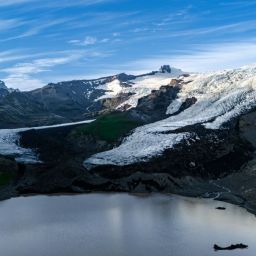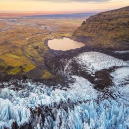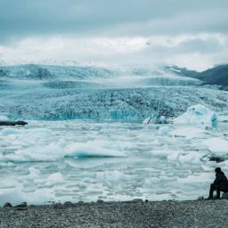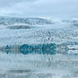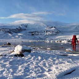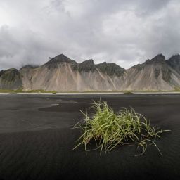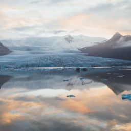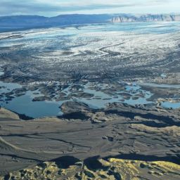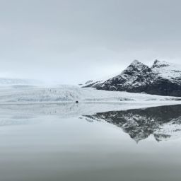
The volcanic landscapes surrounding the village of Kirkjubæjarklaustur are a photogenic highlight of any road trip along the south coast. If you’re heading to Fjallsárlón, then build in some time to park up and admire the distinctive terrain before continuing on to the glacial lagoon. In this article, we’ll take a look at what there is to see and how the volcanic landscapes near Kirkjubæjarklaustur came to be created.
The eruption of Mount Laki in 1783
The landscape surrounding Kirkjubæjarklaustur owes a lot to what’s thought to be the world’s largest ever lava eruption in recorded history. It came from a volcano called Mount Laki, which is located in Vatnajökull National Park and forms part of the same volcanic system as Grímsvötn, which itself is Iceland’s most active volcano.
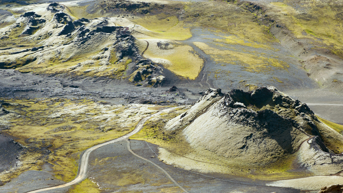
In June 1783, Mount Laki began a remarkable volcanic eruption, called Skaftáreldar. It would last until the following February. The magma that poured from a fissure in the earth’s crust was responsible for the formation of what we now know as Lakagigar, a series of craters that stretch for more than 15 miles (25km). Lava eventually covered an area of about 220 square miles (565 square kilometres).
A devastating event with far-reaching consequences
The devastation had disastrous consequences for Iceland. Livestock were poisoned as they grazed on the contaminated land – the high fluorine levels were toxic. An estimated 80% of sheep, 60% of horses and 50% of cattle were lost. The lack of food supply caused by the deaths of so many animals was compounded by acid rain destroying crops.
Countless people, perhaps as much as a quarter of the country’s population, starved as a consequence. But the impact of Skaftáreldar wasn’t confined to the Kirkjubæjarklaustur area or indeed even Iceland. There’s never been any eruption like it in Iceland. Yet this was a cataclysmic event that affected places far beyond Icelandic shores.
Huge quantities of volcanic gases were ejected into the atmosphere and the prevailing winds carried them across mainland Europe, the Middle East and North Africa. Ash and particulate matter in the atmosphere blocked created a haze and blocked out the sun. That winter, the temperatures recorded were well below normal levels. Some commentators even go so far as suggesting that this terrible event was the catalyst for the French Revolution.
The Fire Priest
One of the most remarkable stories about the Laki eruption and how it relates to Kirkjubæjarklaustur concerns the Reverend Jón Steingrímsson. He’d come to the parish after an unhappy spell at a church in Mýrdal; when the vacancy arose in 1778 he jumped at the chance of a fresh start.
And so it was that he was in post as the eruption occurred. As copious amounts of lava flowed from the volcanic fissure, he didn’t choose to abandon his flock. Instead, he gave a sermon, preaching from the pulpit in the church at Kirkjubæjarklaustur. His congregation believed that his sermon, known now as the Eldmessa or Fire Mass, was instrumental in holding back the lava and sparing this rural community.
Regardless of whether you believe in divine intervention or not, the fact is that the church building was never engulfed in lava. Jón Steingrímsson was a local hero; as the disaster continued to impact the local area, he opened the doors of the parsonage to those that had lost their homes and made it his mission to try to boost their spirits and alleviate their suffering. He never lost hope, remaining loyal to his parishioners through one of the darkest periods in South Iceland’s thousand year history.
The Eldhraun lava field today
The lava field is referred to in two distinct sections: the western part is called Eldhraun, while the eastern part is called Brunahraun. Both are located close to Kirkjubæjarklaustur. When you drive along Iceland’s ring road through South Iceland, the road cuts across the lava field created as a result of that infamous Laki eruption.
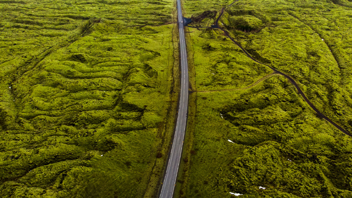
Eldhraun translates as Fire Lava. This moss-covered lava is a jaw-dropping sight, an extraordinary landscape that stretches as far as the eye can see. But though you might think that solidified lava such as this is tough, it’s actually a really fragile landscape that’s easily damaged.
In Iceland’s cold climate, vegetation regrowth after a volcanic eruption takes decades – if not centuries – to recover. The delicate moss that blankets the lava cannot withstand any pressure, meaning that if you were to stand on it, even for a fleeting moment, it would be irreparably damaged.
Because of this, it’s forbidden to walk onto the lava. Instead, there’s a car park where you can safely pull off the main road and leave your car. There are viewing platforms overlooking the surrounding landscape and information boards which provide context for what lies in front of you.
Kirkjugólf
The impressive lava field isn’t the only striking sight in this volcanic landscape. Another place you’ll definitely want to view near to Kirkjubæjarklaustur is Kirkjugólf – the name translates as “church floor”. This remarkable national monument is a naturally occurring plain of basalt. This slab of hexagonal stones stretches for a considerable distance and covers an area of about 80 square metres.
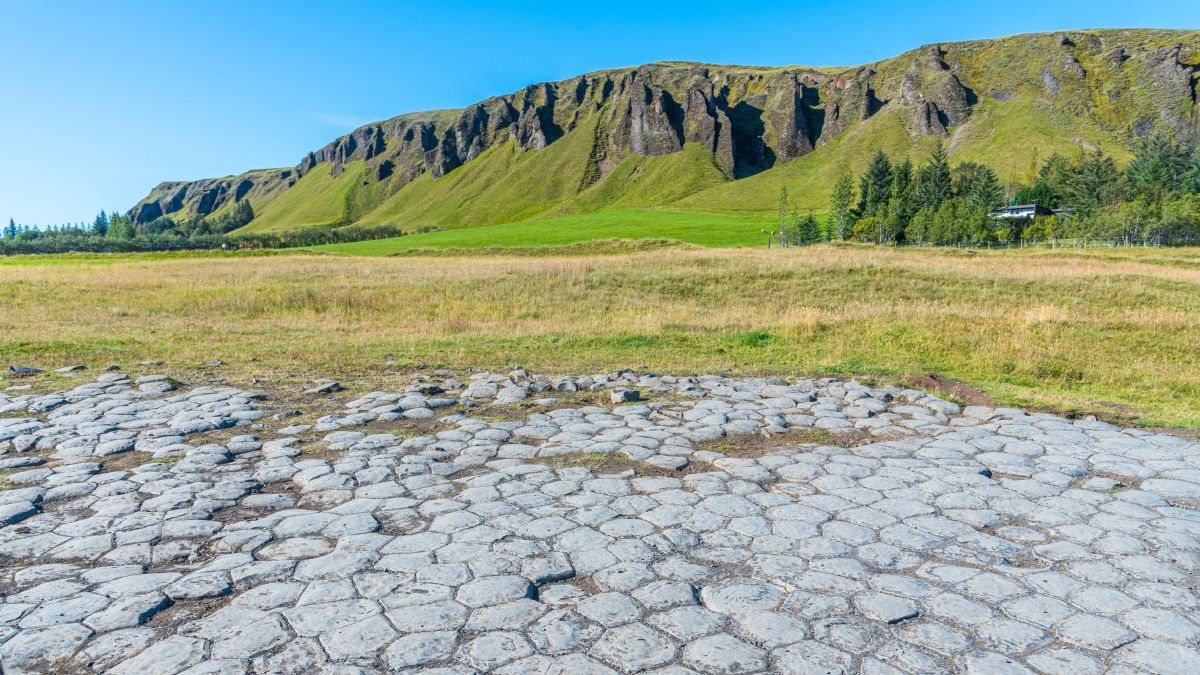
To a casual observer, it might look like a tiled stone floor, and from its name you might mistakenly believe that it’s all that’s left of a long-demolished place of worship. But even more incredible is that this is a natural landform, created by volcanic activity. Columnar basalt once stood here and was eroded by the sea which now lies further to the south.
Landbrotshólar
Landforms created by volcanic activity are surprisingly varied and our next subject demonstrates this. The pseudo craters you find in a place called Landbrot, also close to Kirkjubæjarklaustur, weren’t formed during the Laki eruption, however. Instead, they are much older and were created during the Eldgjá eruption which took place between 934 and 940AD.
Back then, this would have been a wetland. When the superheated magma that seeps from the earth’s crust comes into contact with water, it of course causes that water to boil. Magma flows beneath the surface in lava tubes, but can also form lava nuggets. The weight of the lava can cause it to sink into the ground, creating it to dramatically turn to water vapour. These steam explosions cause pseudo craters to form, as is in evidence here.
Typically, pseudo craters occur in clusters as the magma travels across the wetland area. Today, visitors can follow a 5.5 mile (9km) hiking trail. Begin at the bridge over Skaftá and follow the path as far as Hæðargarðsvatn, a beautiful lake on the south side of the ring road. The route continues to the pseudo craters.
The Ástarbraut trail
To see these and several other natural landmarks, you might consider hiking the 3.5 mile/5km long Ástarbraut trail. Known to English speakers as the Love Path (ást means love), it begins at the Skaftárstofa visitor centre which is located a short drive from Kirkjubæjarklaustur.
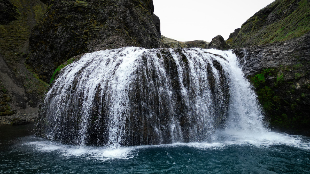
This scenic walk takes you past Systrafoss, along a wooded trail to a nearby lake called Systravatn and then an overlook from where you can admire the Landbrotshólar pseudo craters. After a steep descent you’ll see another waterfall, Stjórnarfoss. Continue on to to Hildishaugur and then Kirkjugólf. Afterwards, loop back to where you started.
Fjaðrárgljúfur
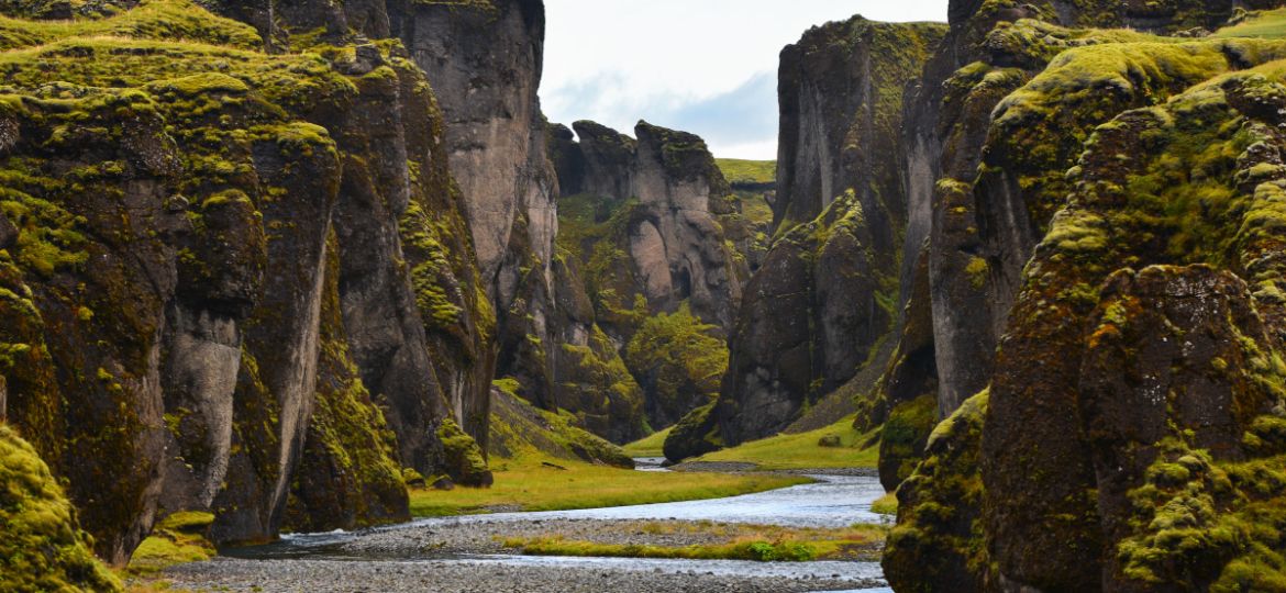
One of the area’s most famous natural attractions wasn’t formed as the result of volcanic activity but is no less impressive. Fjaðrárgljúfur is one of the most breathtaking canyons in the country, about 30 metres deep and 2km long. It was carved by the River Fjaðrá, its palagonite cliffs dating back thousands of years to the last Ice Age.
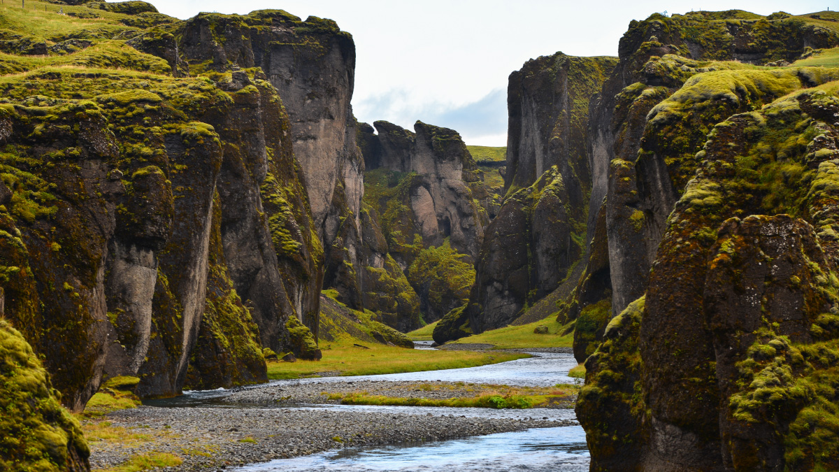
At that time, a glacier retreated, leaving behind a lake which collected on top of some resistant rock. Water flowed from the lake, carrying sediment which it used to erode the land beneath its channel. Over time, the water dug deeper and deeper, winding around interlocking spurs to form the serpentine canyon which has wowed so many visitors to this part of Iceland.
Fjaðrárgljúfur is a reminder that volcanoes are the only force of nature powerful enough to create jaw-dropping landforms and another reason, should you need one, to take some time to explore the area around Kirkjubæjarklaustur before continuing your journey east or west along the ring road.


