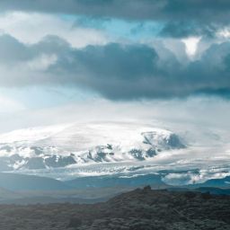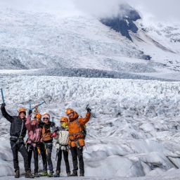
In the Land of Fire and Ice, glaciers play a significant role in shaping the landscape, both directly and indirectly. In Iceland, there are well over 250 of these huge bodies of ice. Ice covers about a tenth of Iceland’s land area and of course the largest sheet is Vatnajökull itself.
Climate change brings tangible consequences and every glacier, from the largest to the smallest, will be impacted. Yet even though Vatnajökull has lost 15% of its volume in the last century, this enormous ice cap still has an area of about 7500km2 including its many outlet glaciers – among them Fjallsjökull –and covers about 7% of the country.
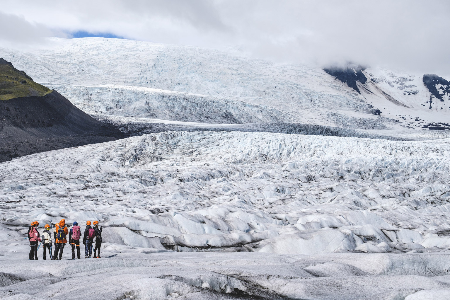
Glaciers weigh heavily on the underlying bedrock and as the ice moves, it erodes the valleys below and beside them. Meltwater too is instrumental in creating change, whether through steady flows that shape hidden caverns or dramatic jökulhlaups that leave a trail of destruction in their wake. The features of Iceland’s landscape thus tell a long and fascinating story of how glaciers carve out a path, altering the terrain forever. Let’s find out how.
What is a glacier and what are its key characteristics?
A glacier is a body of ice that moves downhill under the influence of gravity. It has similar characteristics to bendable plastic, in that although it is solid, it is able to flex as it travels over immoveable objects such as rocks. It’s this that enables it to sculpt the landscapes as it travels down through highland valleys to reach lower elevations.
A glacier can be considered as comprising two separate zones: the zone of accumulation and the zone of ablation. In the zone of accumulation, snow is added to the glacier. It falls as precipitation on the highest reaches of the glacier up in the mountains. There, colder temperatures mean that there’s little melting, even on the upper surface of the glacier in summer.
During repeated snowfalls, the snow is compacted under its own weight to form firn. This granular snow is at least one season old and has survived the warmer temperatures of summer. Firn will in turn become ice. Over time, any air bubbles in the ice will gradually be squeezed out, which is why sometimes the ice appears translucent.
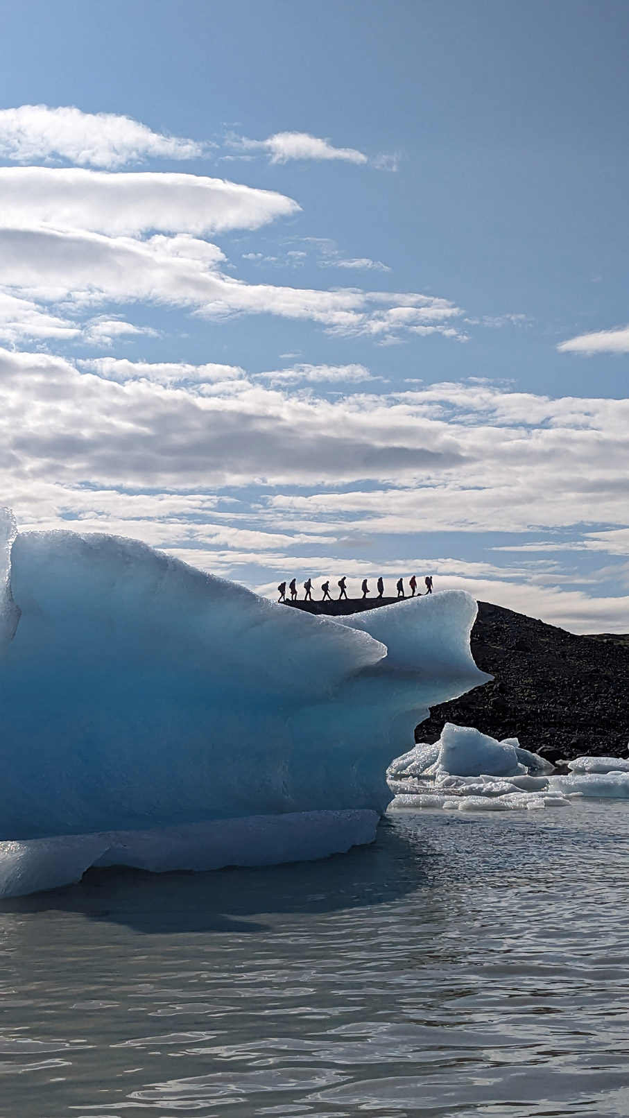
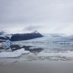
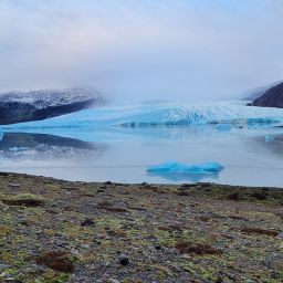
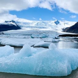
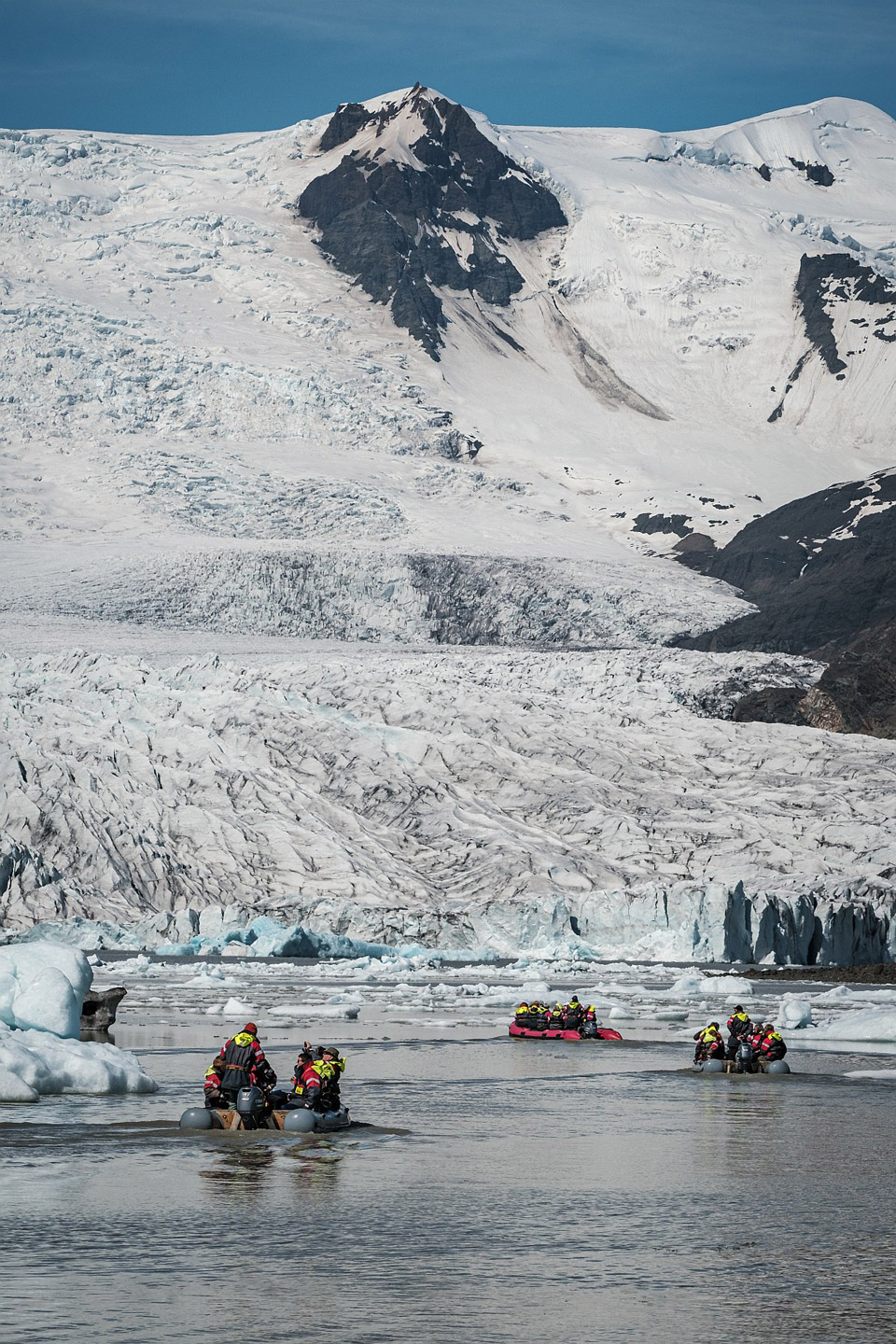
At the opposite end of the glacier, we enter the zone of ablation. This is found at a lower altitude where the rise in temperature causes some of the ice to melt. It collects in hollows or forms lakes behind moraine that it has deposited and this is why we find lagoons such as Fjallsárlón in front of glaciers.
How does a glacier erode rock?
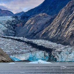
Glaciers pick up moraines as they make their way down valleys. The term refers to material collected and carried by the ice, and can encompass larger boulders, fine volcanic ash and everything in between. There are different types of moraines, but the names typically refer to where the material is transported or deposited. For instance, lateral moraines occur at the edges of the ice while ground moraines are found underneath the glacier.
One of the ways that a glacier can erode the landscape is by using the material it carries to scrape at the valley floor and sides. This is called abrasion and it works in a similar way to one of the processes that happens when waves batter coastal cliffs. Ice is also able to freeze around rocks as it travels over them. As the glacier moves downhill under the influence of gravity, the rocks that it has grabbed are plucked from the valley floor or sides and form part of the moraine.
Freeze-thaw weathering can also be responsible for material being added to a glacier. Water collects in cracks and small indentations in the valley side and when the temperatures fall sufficiently, it freezes. When the temperatures recover, the ice melts. The process is repeated over and over which ultimately weakens the rock causing it to shatter or for small pieces of rock to break off. Where these fall onto the ice, they are carried by the glacier and can be later used to wear away the land around it.
Landforms created by glacial erosion
While some landforms are visible only when a glacier has melted to reveal the landscape below, sometimes we can see evidence of erosion while they are still in place. Typically, jagged peaks and ridges – known as pyramidal peaks and arêtes – have been carved by ice, but you’ll also see evidence where the rocks have been scarred with deep scratches known as striations.
The glacier’s meltwater alters the landscape too
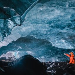
When the ice melts, it too makes its mark on the landscape. For instance, if meltwater from the glacier’s surface works its way through cracks and crevasses, it can hollow out cavernous spaces within and beneath the glacier. These are called ice caves and they are some of the most jaw-droppingly beautiful landforms associated with glaciation.
Other landforms associated with glacial deposition occur where material is left behind. Erratics, for example, are boulders that appear out of place because a glacier has carried them far from where they came from. Drumlins – low, egg-shaped hillocks – also occur as a result of glacial processes, occurring where the melted ice has been able to carry material and sediment which collectively refer to as glacial till. In south east Iceland, you’ll find a drumlin field close to Fláajökull, an outlet of Vatnajökull.
Sub-glacial volcanic eruptions
When volcanic eruptions take place under a glacier they can create flood known as a jökulhlaups. These can be devastating events and can cause significant damage to any infrastructure in their path such as bridges and roads. Fortunately, all volcanoes in Iceland – sub-glacial or not – are monitored closely and warnings are given in plenty of time should it be necessary to evacuate the area affected.
Recessional landforms
Since the Little Ice Age, Fjallsjökull has been retreating. It’s the reason why Fjallsárlón lagoon exists, of course, but there are other landforms created by glacier recession. There is plenty of till and moraine but also evidence of over-riding, where the glacier has passed over the top of previously deposited material creating fluted moraine ridges.
Outwash sediments have also been identified on the east side of Fjallsárlón, some with till on top. You’ll also see eskers close to the Fjallsjökull glacier. These are winding ridges made of sediment that form in water channels beneath the ice of a glacier. Kettle holes (depressions in the ground formed by melting ice left behind by retreating glaciers) are also present in the area. Some of these near Fjallsárlón are quite large which is unusual.
Glacial Lagoons
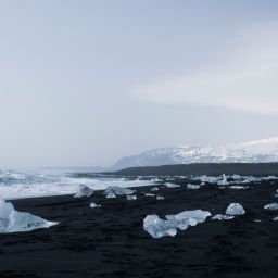
Clearly, a more visible impact is glacial lagoons such as Fjallsárlón and Jökulsárlón. When ice melts at lower elevations, the water released carries stones and rocks for a short distance. But the energy isn’t sufficient for the water to transport such a load indefinitely and it is dropped. Where there’s a hollow or this moraine is able to block off the end of the valley, water will be able to collect behind it forming a lake.
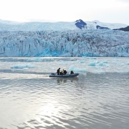
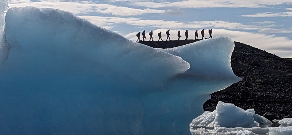
Often, as the glacier continues its journey towards the lagoon, chunks of ice will calve (by which we mean fall into the water), creating icebergs. These float around for a while until the air or water temperature causes them to melt. The size and shape of the icebergs varies, which adds to the appeal of such lagoons.
Now that you know what to look out for, whether you take a boat trip out onto Fjallsárlón or take a hike on or around the glacier itself, you’ll see plenty of evidence for how glaciers shape the landscape. It’s fascinating to see the variety of ways a glacier can carve out a path and use ice or meltwater to sculpt new and varied terrain. As our climate alters and glaciers retreat, there’ll be more change ahead. In the future, Iceland is going to look very different.
