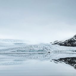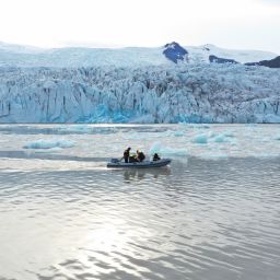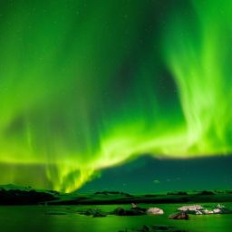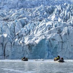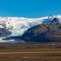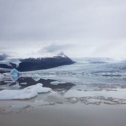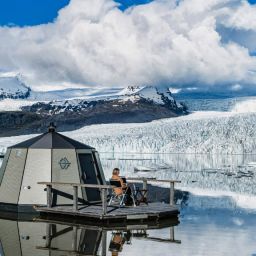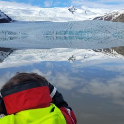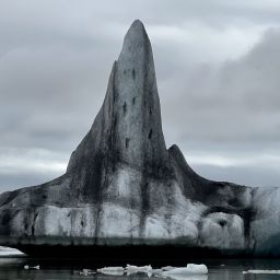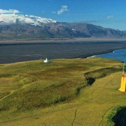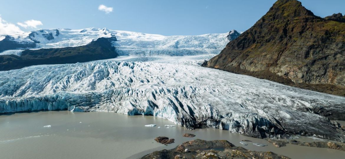
Vatnajökull National Park is the largest of Iceland’s three national parks. It encompasses around 12% of the country’s total area and about a quarter of its central highland region. The area was inscribed on the UNESCO World Heritage List in 2019 and is effectively funded and well-managed by the Icelandic government in the form of the Vatnajökull National Park agency (Vatnajökulsþjóðgarður) which is also responsible for risk management.
The influence of people is minimal over much of its area, except in a protective capacity. Its rugged topography and challenging climate helps keep settlement and human activity at arm’s length. As a result, approximately 85% of Vatnajökull National Park can be classed as wilderness by most definitions. Consequently, visitors to Fjallsárlón will travel through a breathtaking environment that’s constantly undergoing change. In this article, we’ll take a look at the geology that has created this extraordinary place and explore the ways it influences the surrounding landscapes.
A country that’s young in geological terms
In geological terms, Iceland is very young. Land began to form around 24 million years ago because of a magma plume at the boundary between the North American and Eurasian plates. This magma plume is still active, which is why Iceland has so many active volcanic systems. Tectonic activity follows a broadly diagonal path through the country, running southwest to northeast.
At Vatnajökull the underlying rocks help tell the story of this oceanic rift; it’s here you’ll find some of the country’s most active volcanoes. Weathering shapes the terrain by stealth: ice and rain silently eat away at the rock while the wind relentlessly redistributes loosened material.
Meanwhile, the massive ice cap that sits on top of them periodically alters the landscape as well, for instance through jökulhlaups (glacial floods). Heat from sub-glacial volcanic activity melts the overlying ice and sends it crashing down as a destructive raging torrent. The results are plain to see, even casual visitors can’t fail to notice that this is a dynamic environment that is constantly evolving.
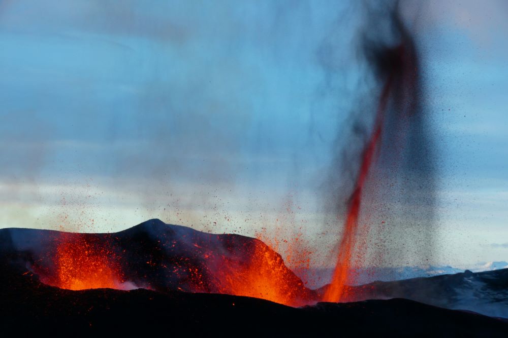
The geology of Vatnajökull National Park is exceptionally varied and interesting
The wider Vatnajökull area has been designated as a national park since 2008. Though the Vatnajökull glacier and its outlets dominate the scenery, the place has a remarkable geological diversity, both beneath and beyond the ice. For example, within its boundaries not only are there active volcanoes but also calderas, rows of craters and lava formations from long past eruptions.
Most of the volcanoes that lie within Vatnajökull National Park are hidden beneath the ice. These sub-glacial volcanoes include prolific and highly active ones such as Grímsvötn and Bárðarbunga, as well as Öraefajökull, the volcano located closest to Fjallsárlón glacier lagoon.
There are clues to what’s happening out of sight, however. While it’s not possible to see into the caldera of Öraefajökull volcano because of the ice that covers it, you will notice the protruding peak of Hvannadalshnjúkur. This pyramidal peak is the highest in Iceland at a height of 2110 metres above sea level. For those fit and determined enough, it’s possible to hike to the summit of this iconic landform in the company of experienced mountain guides.
In the southeastern part of Vatnajökull National Park, there are extinct volcanoes which have contributed rock intrusions (formed when magma cools and solidifies beneath the Earth’s crust) and rhyolite rock slides to the landscape. Just outside the national park, in another protected reserve, you’ll see the dazzling colours of the rhyolite mountains close to Landmannalaugar. A visit here is easily slotted into your summer itinerary before or after you visit Fjallsárlón lagoon.
Elsewhere you’ll encounter ridges formed by a volcanic rock called hyaloclastite, which is created when lava comes into contact with water such as melted ice and fractures into tiny splinters like glass. One of the best known is the Gjálp hyaloclastite ridge in Iceland beneath the Vatnajökull ice field. The 1996 Grímsvötn eruption sculpted the landscape into what exists today.
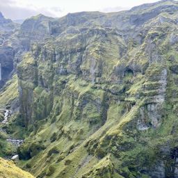
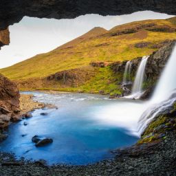
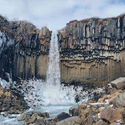
Canyons, too, owe their existence to both volcanism and glaciation. Rocks such as basalt and tuff – formed when ash is compressed and consolidated – wouldn’t exist were it not for the area’s volcanoes. Meanwhile meltwater from the glaciers that shroud them has carved deep canyons adorned with dramatic waterfalls and formed vast areas of glacial outwash plains known as sandurs. Mulagljufur canyon can be found next to Fjallsarlon, offering magnificent sights of green moss, waterfalls and glacier.
There’s plenty of evidence of different types of moraines at Fjallsárlón Glacier Lagoon
Of course, one of the most common landforms associated with geology where glaciers are present is moraine. If you participate in an ice hike while you’re visiting Fjallsárlón, then you’ll certainly encounter moraine. In fact, we tucked the building which houses Frost, our restaurant, and the rest of the service centre right up against the lowest moraine, so you don’t even have to stray far from the car park to see the most accessible deposits.
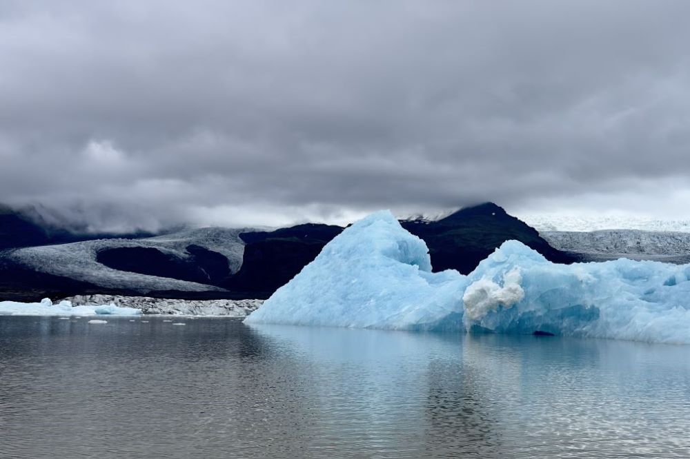
The word is an umbrella term for any material deposited by a glacier. Geographers usually classify moraines according to where they are found. For instance, lateral moraines are found at the edge of a glacier, ground moraines represent the material carried by the base of the glacier and terminal moraines are those that pile up at the snout or end of a glacier.
One of the most important geological features in the vicinity of Fjallsárlón glacier lagoon is formed of moraines. The ridge that lies between the two glaciers Fjallsjökull and Hrútárjökull began to form in the mid 1940s and now, decades later, the two are now completely separated. The material that forms this ridge is actually what used to be the medial moraine, that is, the moraine that ran down the middle of the glacier.
It’s not the only type of geological deposit you’ll discover. As Fjallsjökull has receded, it has created recessional moraines. During this process, the ice advances in winter when the volume of the glacier experiences its seasonal increase. At this time of year, temperatures fall and the snow that’s added is compacted in the zone of accumulation further up on the glacier.
Subglacial till consisting of unsorted sediment is pushed along and builds up. In summer, when the higher temperatures cause the glacier to retreat, the recessional moraines are revealed. Some have been squeezed into long crevasses or pushed up against the edge of the ice. During your visit to Fjallsárlón’s glacier lagoon, you’ll be able to see these moraines clearly but our guides will explain their formation if you like.
Appreciate the area’s geology with a visit to Fjallsárlón
The landscapes within Vatnajökull National Park are a rich mix of the ongoing volcanic and glacial processes that take place here. Fire and ice work together – sometimes with dramatic consequences – to shape and reshape the terrain. You don’t need to be a qualified geologist to recognise that this is a unique and remarkable place.
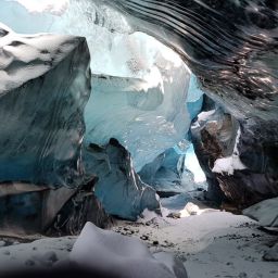
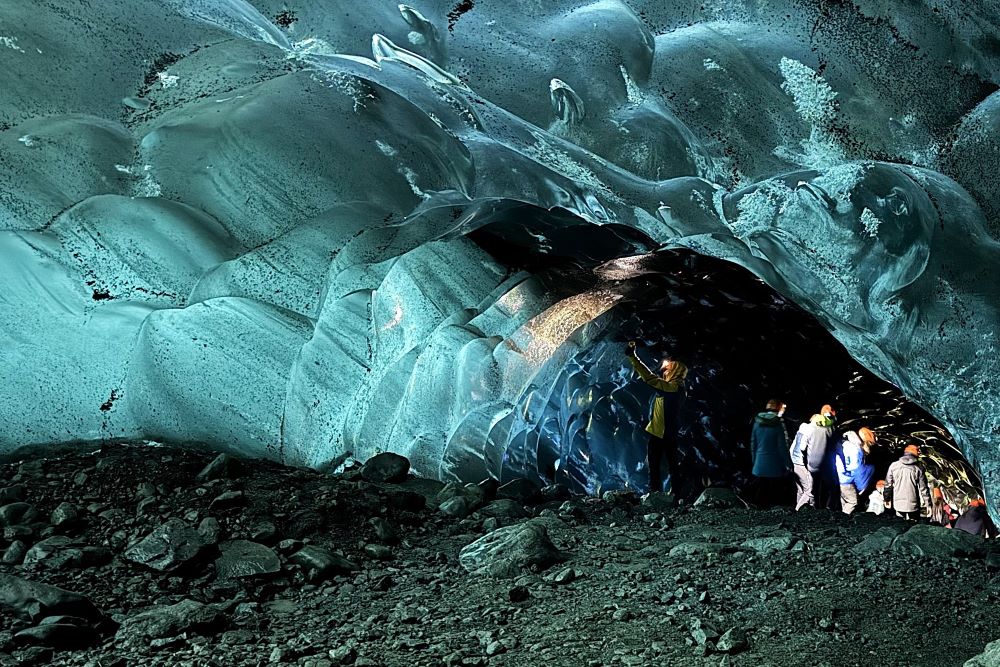
Thanks to its diverse and breathtakingly beautiful nature, you’ll want to be generous with your time at Fjallsárlón to appreciate just how special the surroundings are. Book an ice hike, ice cave tour or boat trip with us and get a unique perspective on Iceland’s geology in the company of those who know it best.
Cover photo by: Jón Ragnar Jónsson IG: @jonfromiceland


